
Discover Namibia’s Naukluft Mountains, home to gorges, springs, and unique geology. Explore hiking trails, wildlife, and ancient rock formations near the desert.
The Naukluft is made up of many small ravines in the massif, as the name Kluft, which means “narrow gorge” in German or Dutch, suggests. The Tsondab Gorge, which stretches 40 km from north to south, is the most notable feature in this mountain range. It is possible to drive through this gorge, which was formed over 300 million years ago by the temporary Tsondab River.
Stone Formations
The escarpment is dominated by the Naukluft massif, one of Namibia’s most important geological features. The mountain lies at the edge of the Namib Desert, at 16° E and 24° S, just south of the Tropic of Capricorn.
The nappe complex, made mostly of deeply cut limestone and dolomite rocks, forms the elliptical massif. On the nearby steppe, it creates a plateau that looks like a flat slab with steep sides.
The Naukluft Mountains cover about 2,100 km². They are 73 km long and 27 km wide. The structure of this mountain range is one of the most complex in Namibia.
The mountain itself is made of pre-Cambrian granite that is about a billion years old. Most of the nappe complex is made of carbonate rocks. These rocks have many holes and channels, which allow water to pass through them easily.
Kalktuff
Because of the way these rocks dissolve, a large network of underground water channels has formed. Any rain that falls on the plateau is absorbed into the rock and only comes out at the edges of the mountain or in the gorges (Dunja Gaedecke & Judith Kaperski, 2004, Die natürlichen Grundwasser-austritte in der Naukluft und ihre Umgebung / “The natural groundwater seeps in the Naukluft and its surroundings”, Technical University, Braunschweig).
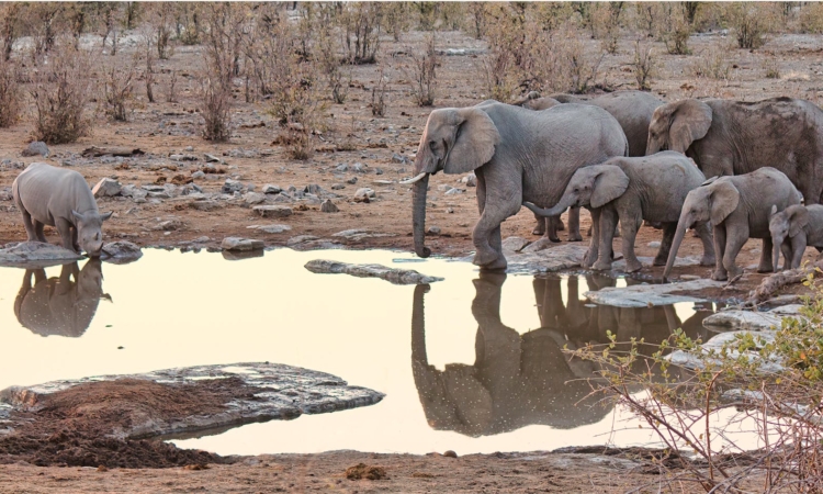
This can be seen clearly when walking through the Quiver Tree Gorge. The high water storage in the rocks makes the Naukluft plateau a natural water reservoir next to the desert. Even in dry periods, the springs provide water for the area.
Spring Water
About 300 million years ago, during the Permocarbon glaciation period, a large gorge was cut through the Naukluft. The narrow gorge of the Tsondab River, which flows from BüllsPort through Blässkranz to Ababis, splits the mountains into two big parts.
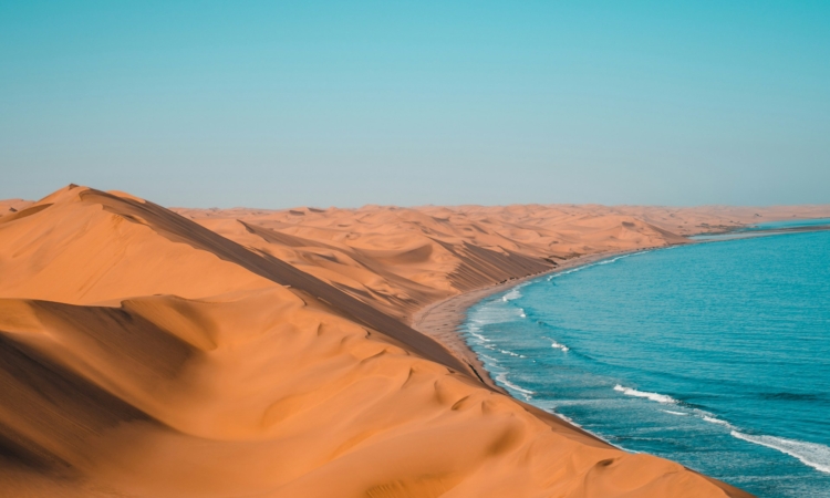
the rainy season, this river carries large amounts of water from the wetter eastern side to the dry western areas. The water ends up disappearing into the red dune sands of the Tsondab Vlei.
The area was first mapped in 1935 when German geologists Hermann Korn and Henno Martin, guided by their mentors Heinrich Lotz and Hans Cloos, started a survey.
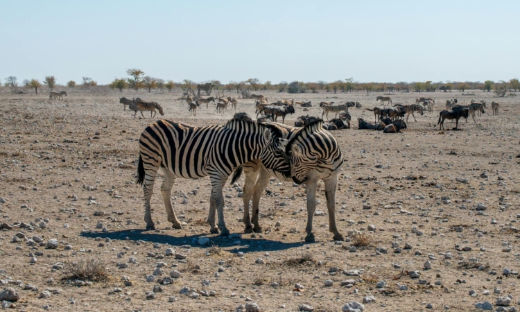
The mountain wildlife includes many different species, and they can often be seen at the springs. Birdlife in the Naukluft is especially rich.